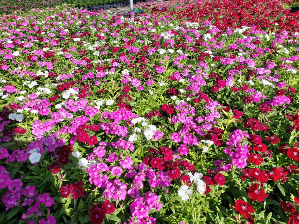
Louisiana Landscape Zones
Louisiana is comprised of 64 connected and neighboring Parishes, which cover the state from end to end.
When considering the diversity of our unique climate, you may come to realize how much warmer some parts are than others.
Most people often think that the southern areas are always hotter than north areas.
But did you know, there are slight differences in temperatures depending on each individual city or town you live in.
For example, temperatures in New Orleans are quite often a few degrees warmer than neighboring cities and parishies.
Residents don’t just experience blankets of heat year-round like during the summer months; we also experience variations within each season.
Today, we examine the different Landscape Zones in Louisiana and what they mean to your climate.
The USDA zone system uses the average annual minimum temperature to indicate which plants are best suited for a particular area. This system is based on the average minimum temperature in an area over a period of years, rather than a single season. The 10 zones range from 1a to 11b, with 1a being the coldest zone and 111b being the warmest zone.

What landscape zone is Louisiana?
Louisiana is in landscape zones 8a – 9b.
Louisiana has a variety of landscape zones, with each one representing a different range of temperatures.
The bayou state is located in the southern portion of the United States, and its climate can be described as humid and subtropical.
It is one of the states with the most diverse climate zones, in both coastal and inland climates.
The coastal areas are classified as humid subtropical, with frequently hot summers and mild winters.
This means that temperatures are generally warm throughout the year; with average high temperatures being in the 70s and 80s throughout most of the state.
Louisiana is located in Zone 8a – 9b, which has average temperature ranges of 64 – 78 degrees Fahrenheit.
The state is broken down into four separate zones:
North Louisiana (8b), South East Louisiana (8c), South West Louisiana (8d), and Central Louisiana (9a).
What USDA landscape zone is Baton Rouge Louisiana?
Baton Rouge is located in USDA zone 9a.
Baton Rouge is the capital of Louisiana, with a population of around 225,000 people.
The city’s nicknames are “The Capital City”, “River City”, and “BR.”
Baton Rouge was established by European settlers in 1721 as the first permanent settlement in French Louisiana.
BR is also known as “the Venice of America” because of its many waterways.
Baton Rouge, Lafayette and Lake Charles are in hardiness zone 9a.
previous map had these areas on the border between zones 8b and 9a.

What USDA landscape zone is New Orleans Louisiana?
New Orleans is located in USDA zone 9b.
Zone 9b is the warmest zone in the entire state of Louisiana.
There are only a few areas that are classified as zone 9b, and those are regions of Plaquemines parish, St. Bernard parish, Terrebonne parish, and Lafourche parish along the coast.
New Orleans is the largest city in Louisiana, with a population of around 390,000 people.
The city’s nicknames are “The Big Easy” and “NOLA.”; and is known for its rich culture and history.
N.O. is located near the mouth of the Mississippi River and has been a major port since its founding.
In addition to being a large trading hub, New Orleans is also known as one of America’s most famous cities for food lovers.
What landscape zone is Lafayette Louisiana?
Lafayette, La and Lake Charles, La are located in USDA zone 9a.
Lafayette is the fifth largest city in the state of Louisiana, with a population of around 122,469 people.
The city was founded by European settlers in 1821 and named after Revolutionary War hero Marquis de Lafayette.
It was established by European settlers in 1821 as Vermilionville, but it was incorporated as Lafayette in 1884.
The city’s nicknames include “The Hub City” and “The Cajun Crown Jewel.”

What landscape zone is Shreveport Louisiana?
Shreveport is located in USDA zone 8b.
Shreveport is the third most populous city in Louisiana, with around 200,000 residents.
The city was founded by European settlers in 1839 and named after Colonel William A. Shreve, who who purchased the land from a local Indian tribe called the Caddo and helped develop the Red River area for cotton plantation cultivation.
It has been known as one of the largest cities in Louisiana with a rich musical heritage due to its vibrant jazz scene and many nightclubs.
The city’s nicknames include “The Queen City of the South” and “The Magic City” and “Cotton Capital of America.” due to its many casinos and entertainment options.
Almost all of North Louisiana was once classified in hardiness zone 8a.
Today, considerable portions of Bossier parish and Caddo parishes are located in zone 8b.
What landscape zone is Northshore Louisiana?
Northshore Louisiana is in USDA zones 8b and 9a.
Mandeville, Covington, Hammond, Slidell
The Northshore is located in the Mississippi River Delta Plain.
The region is part of the Gulf Coastal Plain, which extends northward from Louisiana into Texas and Alabama.
It is also part of the land formed when the Mississippi River carried sediments down to its delta, depositing them on a coastal plain that gradually built up over millions of years.

What landscape zone is Central Louisiana?
Central Louisiana is in USDA zones 8b, 9a, and 9b.
Alexandria, Pineville, Ruston, Natchitoches are located in central Louisiana.
The region is part of the the Mississippi River Delta Plain and Gulf Coastal Plain, which extends northward from Louisiana into Texas and Alabama.
It is also part of the land formed when the Mississippi River carried sediments down to its delta, depositing them on a coastal plain that gradually built up over millions of years.
Temperatures in these parts of Louisiana can drop pretty fast to cool temperatures during winter freezes.

So,what landscape zone is baton rouge louisiana?
Louisiana include USDA zone 8a, 8b, 9a, and 9b.